
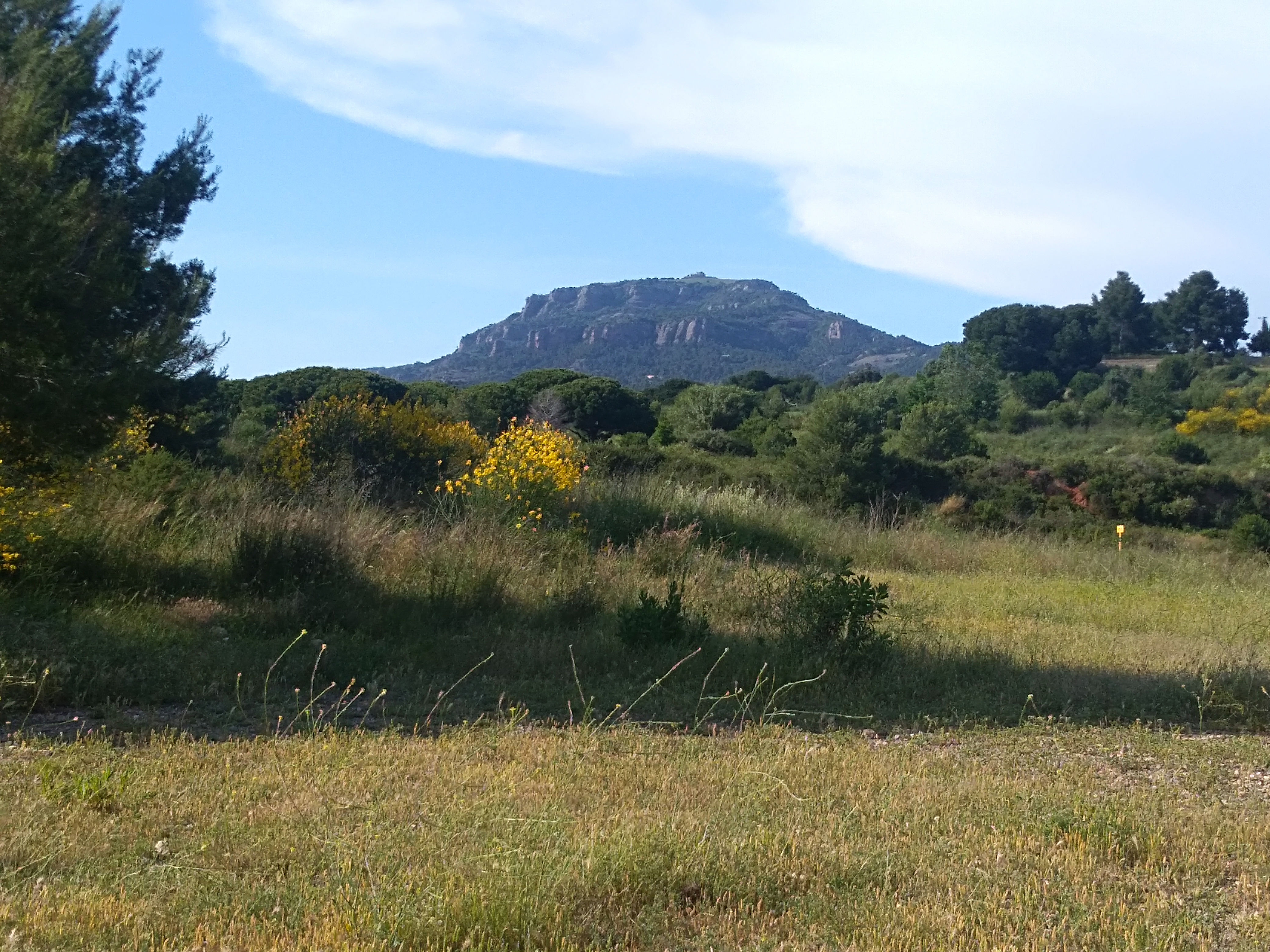
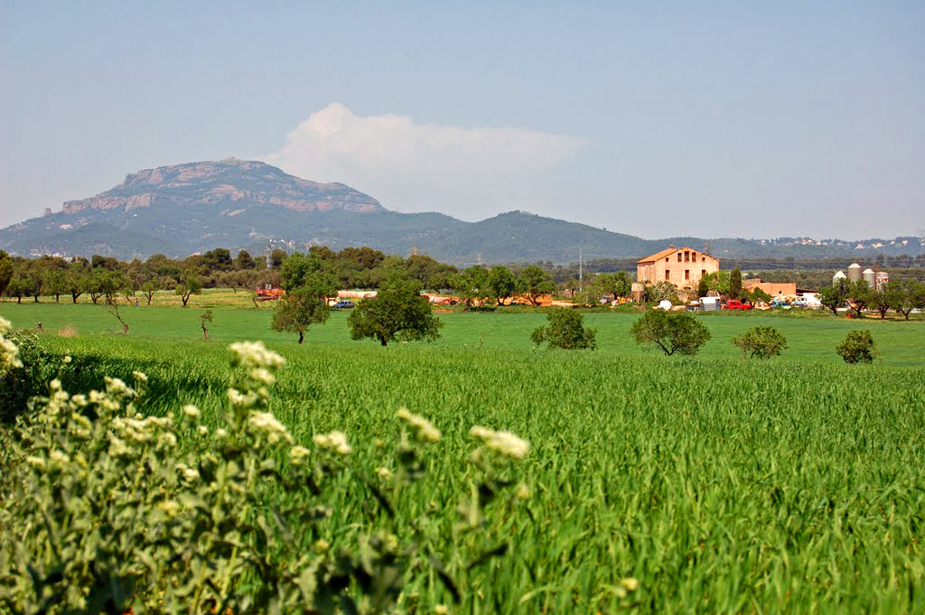
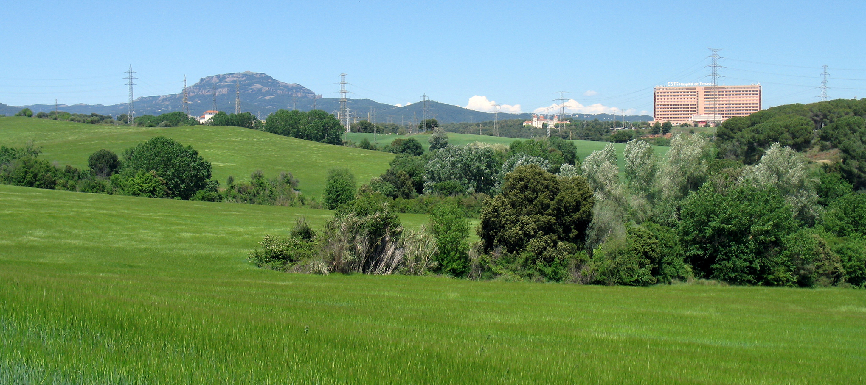
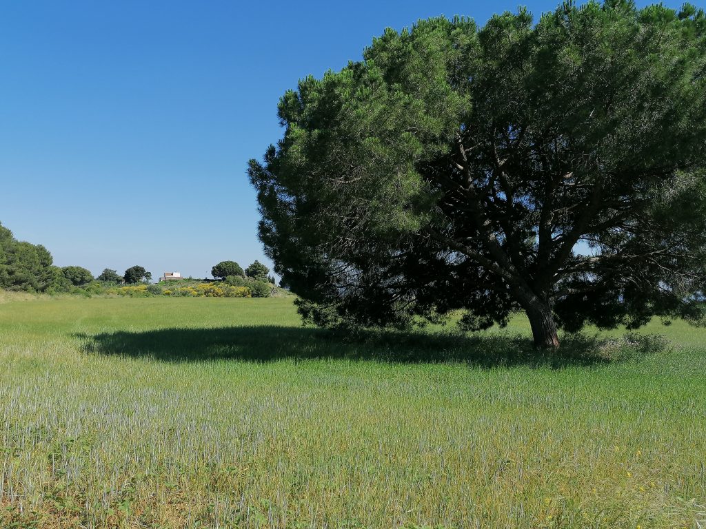
The Anella Verda (green ring) is the territory that surrounds the city of Terrassa and there are areas of forest, streams and fields. It is a beautiful natural space where you can walk around and discover the footprint that agriculture has left on the territory and its landscape.
We propose two routes to go around the Anella Verda taken from this website of the City of Terrassa. These are two walks accessible to all to get lost in this beautiful natural environment.
If you want to know more about Anella Verda, the projects that are located there and the natural and historical heritage that is preserved there, you can consult this document.
The first route we propose:
Starting points of the route: You can start from two different places, from the Torressana gate or in the Pi Gros rest area (where you will find a parking)
Distance: 4 km
Difficultyt: Low
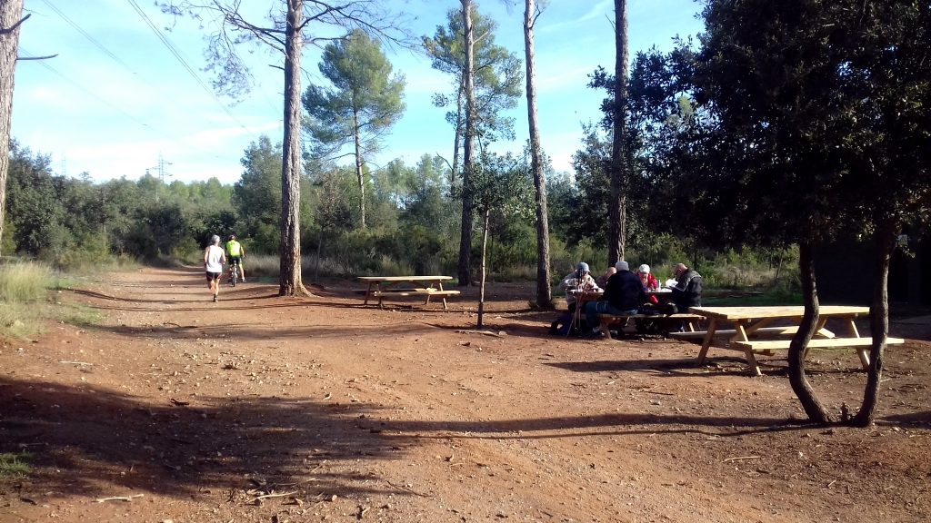
Rest Areas: You will find four along the route.
*This route can be done in both directions. In the Pi Gros rest area you can extend the tour by linking to the stretch “El torrent de la Betzuca”.
We will take a circular route around the Torrebonica farmhouse, to discover its natural surroundings but also the architectural heritage that is preserved there. We will distinguish two different sectors, on the one side, the sector that follows the stream of la Grípia along the Camí Ral de Terrassa to Sabadell and the Camí Vell de Sant Quirze to Matadepera and, on the other side, the area of Can Canya all following the Camí Vell de Sant Quirze to Sant Julià d ‘Altura which crosses a flat agricultural environment. These two areas are separated by the Betzuca stream.
Throughout our route we will find very interesting heritage features such as the Torrebonica farmhouse, which we will be viewing from different points throughout our route. This farmhouse has been documented since the 13th century with names such as Can Barba or Can Viver. At the beginning of the 20th century it was transformed and renovated to house a santorium to treat tuberculosis. There are also other relevant heritage features such as the farmhouse of Can Figueres del Mas and the farmhouse of Can Canya in the lands of which agriculture is still practiced and where a herd of sheep grazes. It is also worth mentioning the building of the former Torrebonica train station.
*Please note that the circulation of motor vehicles is allowed on the Camí Vell de Sant Quirze in Matadepera, the Camí Ral de Terrassa in Sabadell and the Camí Vell de Sant Quirze in Sant Julià d ‘Altura.
The second route that we propose to go through the Anella Verda:
Starting point of the route: You can start from five different points (gates of Torressana and Can Montllor and rest areas of the Pi Gros, the Tower of Mossèn Homs and the Bonvilar Environmental Information Center -CIAB).
Distance: 7 km
Difficulty: Low
Rest areas: you will find seven along the route (the one of the Pi Gros is to be highlighted; as well as the Tower of Mossèn Homs with picnic area, fountain and playground and the CIAB also with picnic area, fountain and information service on weekends and holidays).
Download the route tracks here.
*This route can be done in both directions. If you want to do the longest route you can link to the route of “Torrebonica and the Plans de Can Canya”.
With this route we will skirt the northern sector of Betzuca along the Camí Vell de Sant Quirze to Matadepera (between the agricultural fields of Can Montllor and Torre Mossèn) and along the Camí de Can Bonvilar (through the forests of Torrebonica and Bonvilar).
Along our walk we will find elements of heritage of great interest like the farmhouse of Can Montllor, the Tower of Mossèn Homs, which currently houses a hotel school, and Ca n ‘Arnella, one of the most dynamic farms in the Anella Verda. Do not miss the visit to the old lime kiln located near the Bonvilar Environmental Information Center (CIAB) and the natural site with a riparian forest (with poplars, willows, and elms) near the creek of la Grípia (poplar grove of Grípia’s creek).
The Betzuca stream, has its source in Matadepera in the massif of Sant Llorenç del Munt, and crosses from north to south the east side of the city of Terrassa. This stream eventually flows into the river Besòs.
*Please note that the circulation of motor vehicles is allowed on the Camí Vell de Sant Quirze to Matadepera, the Camí Ral de Terrassa to Sabadell and the Camí Ral de Terrassa to Castellar.
More information:
You can find more information about the Anella Verda here.
Rating
[Total: 0 Average: 0/5]
Gallery

Share


Send


No Comments